Closed, abandoned, and forgotten trails of Great Smoky Mountains National Park
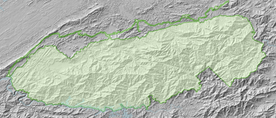
North Carolina Trails
(return to index)- Old Appalachian Trail from Deals Gap to Parson Bald
- Pinnacle Creek Trail
- Old Newfound Gap Road
- Polls Gap Trail
- The never completed road into Cataloochee
- Old manway to Long Bunk Trail
- Asbury Trail
Before the construction of Fontana Dam, the Appalachian Trail Followed the state line from Gregory Bald to Deals Gap, then crossed the Little Tennessee River at Cheoah Dam before turning eastward to climb the ridge north of Yellow Creek. Today a portion of this trail in the Nantahala National Forest is still maintained from the junction of US 129 and Meadow Branch Road (just south of "Fugitive Bridge" near Cheoah Dam) to the present day Appalachian Trail at Walker Gap. I hiked this portion of this trail in 2002 and 2003 and found it to be well maintained and in great shape. However, the portions of this old route along the state line in the GRSM are no longer maintained, and I have no idea as to their status.
Pinnacle Creek Trail
This was formerly part of the lakeshore trial, but was rerouted due to numerous stream crossings and erosion. The first edition of the book Hiking Trails of the Smokies described this route, but the narrative was removed from subsequent editions after the trail closed in 2002. All I have heard about this trail was that the numerous crossings made for a slow and treacherous hike.
Old Newfound Gap Road
This little known roadbed is classified as a "quiet walkway" by the park. While I generally don't count these as closed trails, I've included this one not only because of its length but also because of its history. In the 1950s, Newfound Gap Road was rerouted to follow Thomas Divide, a ridge which offers spectacular views and access to several hiking trails. Not only is this one of the widest trails in the park, but it is also maintained and kept free of brush. These factors make for an enjoyable, although steep, hike to Newfound Gap and back.
The trail begins past a locked gate at what once was a well graded hairpin turn in the highway. The road is wide, consistently graded, and even has numerous pullouts and overlooks. However, don't expect any views, since the forest has had 60 years to regrow into any clearings.
The road ascends the entire way, with the sound of Beech Flats Prong rising from the valley far below. Eventually both the creek and the new highway close in on the old road, which makes a sharp bend just below the modern Luftee Gap overlook. At this point one can not only hear the traffic, but can also see cars as well as trash that has been inconsiderately thrown down the hill from the highway. The final ascent to Newfound Gap is bordered by stacked stone retaining walls built during construction of the new road alignment. The old roadbed ends at a gate at the western end of the Newfound Gap parking lot.
Polls Gap Trail
Although temporary signs at the trailhead since 2001 declared that "Polls Gap Trail is temporarily closed", the trail is now condemned permanently, and for a very good reason. A dangerous combination of erosion, tree insect damage, and bad winter storms have left the trail completely impassible. We attempted to hike a portion of the trail in 2005 but were forced to give up after only 500 feet because of downed trees and rough terrain. Hikers that had attempted the trail years before us complained of impassible tangles of brambles, fallen trees, and of portions of the trail worn as much as four feet deep by heavy use. The trail has since been permanently closed and has been removed from official trail maps. Fortunately, a portion of the Spruce Mountain trail is maintained to campsite 42 and offers a good alternative to those who want to enjoy the beech and spruce-fir forests on top of this ridge.
The never completed road into Cataloochee
Since before the Civil War, the easiest route into Cataloochee has been via Old North Carolina highway 284, a winding gravel road that accesses the valley from the west via Waterville or from the east via Cove Creek Road at I-40 exit 20. Establishment of the national park brought many infrastructure projects to the valley including a paved road that begins immediately east of the Cataloochee campground and was initially supposed to extend outside the park. However, construction was never completed past the edge of the park, and the current grade ends abruptly at Hoglen Gap along the boundary line.
The current road climbs eastward out of Cataloochee, but ends at a locked gate just beyond the intersection with old 284. Beyond this point, the road is graded and paved for 0.7 miles to it's terminus, but much of the asphalt lies hidden under many years' accumulation of moss, decaying leaves, and grass. At the end of the road, a faint trail climbs up the abutment to intersect the Asbury Trail.
A brief trek down this abandoned road can be combined with a side trip to the Hannah Cemetery. The entrance to the cemetery trail begins 400 feet north of the intersection of old 284 and the paved road; look for a small brown sign along the road shoulder. Total distance along this somewhat maintained trail is 0.4 miles with several minor stream crossings in wet weather. If you are feeling adventurous, continue along the unmaintained portion of the manway beyond the cemetery. Eventually the trail peters out, but continuing along the bottom of the valley in a straight line should take you to either the unused paved road, Hoglen Gap, or the Asbury trail.
Old manway to Long Bunk Trail
Portions of this manway are shown as a road on some topo maps, but the position is often inaccurate. The very well hidden entrance to the trail is located on the downhill side of a very sharp curve along Old 284. Push your way through a rhododendron tunnel for 800 feet, after which the vegetation opens up and the trail becomes easier to traverse but harder to see. As the trail swings around to climb beside Correll Branch, the grade becomes difficult to discern in places. Eventually it connects to the Long Bunk Trail as a faint footpath in a grassy patch that was once a cleared field.
Asbury Trail
This horse trail doesn't appear on park trail maps, possibly because much of it lies either outside the park or along the boundary. It begins in Waterville and ends along Cove Creek Road, and skirts along the eastern edge of the park. The park portion of the trail begins at Mount Sterling gap, then climbs southward to the top of Scottish Mountain before descending back to the road at the bridge on Cataloochee Creek. It then ascends White Oak Mountain, and stays either on or near the ridgeline all the way to Cove Creek Gap.